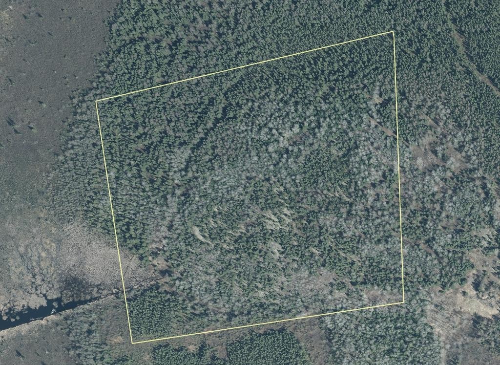
34.4 Acre Parcel Bordering Crown Land, Between Kirkland Lake and Matheson, Ontario
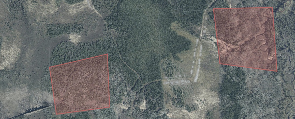
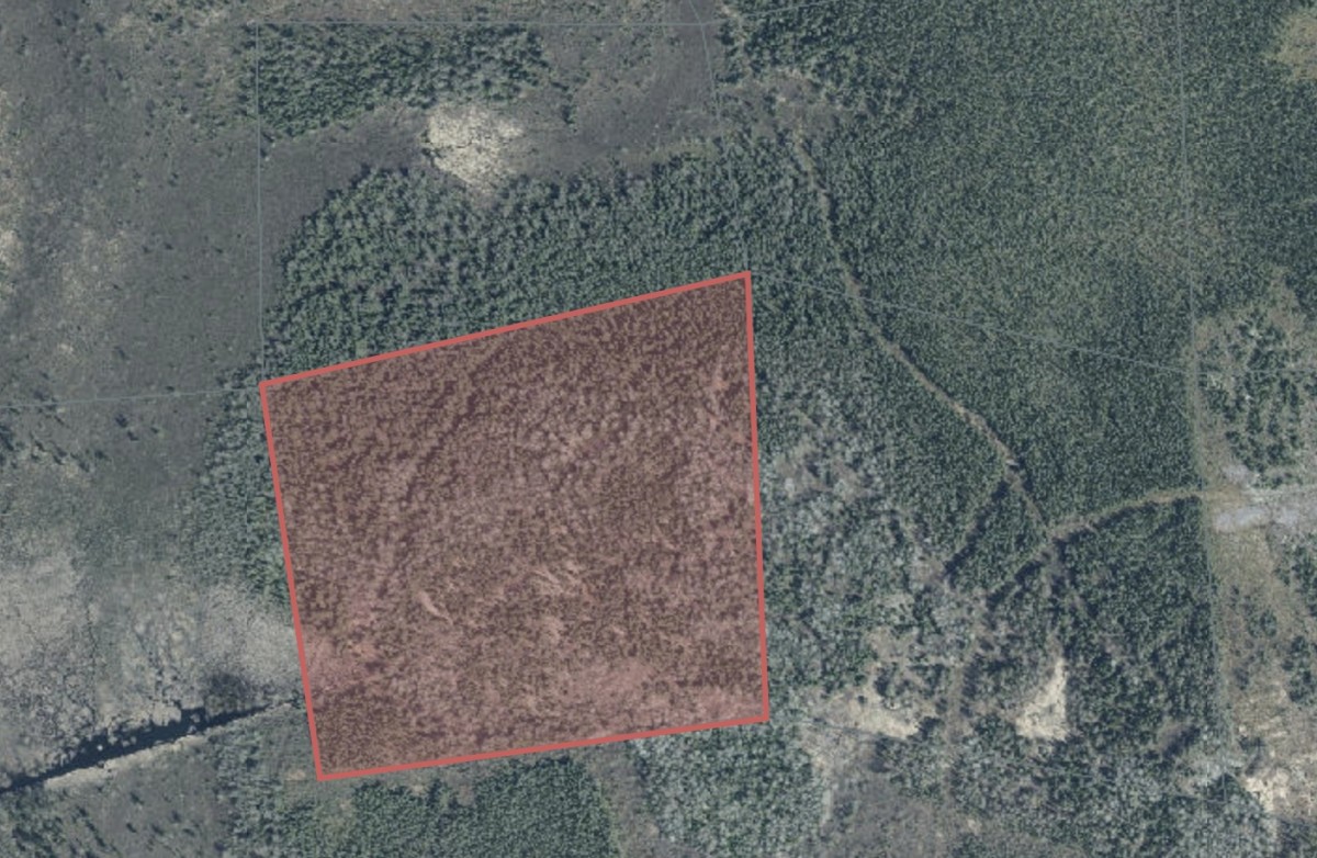
The property borders a huge swath of crown land. The property has higher elevation than the surrounding area which would provide great views and a nice vantage point. It's a good fit for a cabin, hunt camp, or wilderness retreat, or as a long-term land hold. Sold by owner.
Highlights
34.4 Acres
Borders a huge chunk of Crown land to the south and west
Mature timber that can be harvested
Located in an organized township, but no permit is required for a cabin or camp (please confirm, see notes)
Property taxes of about $300 per year
Approximately 30 minutes from Kirkland Lake and about 6 hours from the Greater Toronto Area
Outdoor recreation
The surrounding area has excellent fishing in many nearby lakes and a strong reputation for hunting, including black bear, moose, and small game. Trails for ATVs and snowmobiles run throughout the region. The Property is located in WMU-28
As an investment
Northern Ontario land values have been rising, and raw land is a simple hold: there is no maintenance or upkeep to manage. Buy it, keep it as is, and let time do the work.
Location and amenities
The property is just off Highway 11 between Kirkland Lake and Matheson. Kirkland Lake has grocery stores, a Canadian Tire, hardware stores, restaurants, banking, and other services.
Access
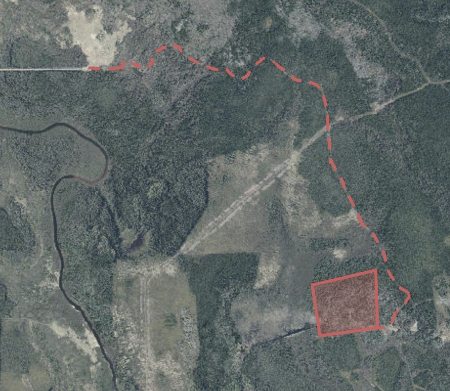
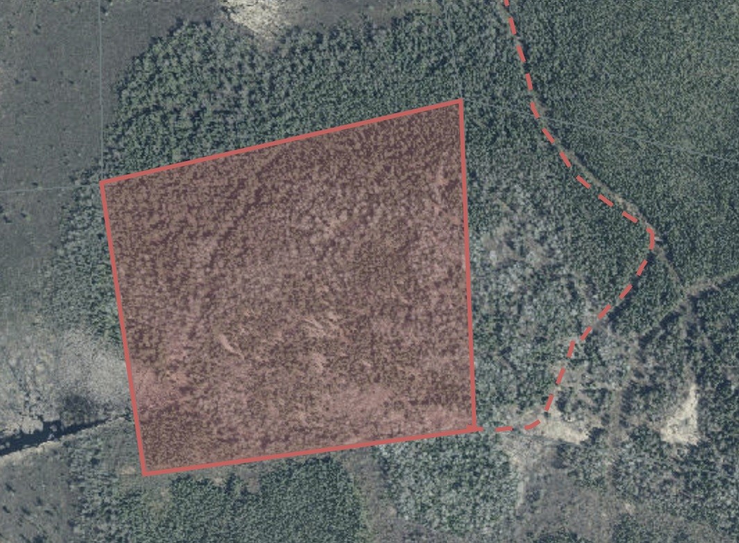
Access is from Grouse Road S. A dirt logging road begins at the east end of Grouse Road (approx. 48.34877, -80.14820). The road is unmaintained, so a 4x4 or ATV is recommended. The property access point is at 48.33371, -80.12290. Please review Google Earth and the attached image to plan your route.
GPS coordinates: 48.33499, -80.12535
Nearby: BRM-14 is close by but does not border this parcel. It's a great option if a friend or family member wants a property of their own nearby.
Legal description: PCL 19707 SEC SEC SRO; MINING CLAIM L.40669 MELBA; RECORDED AS MCL L.26461 MELBA AS SHOWN OUTLINED IN RED ON AMENDED PLAN OF
SURVEY BY J.A. LONERGAN, O.L.S., DATED OCTOBER 30, 1946, OF RECORD IN
THE DEPARTMENT OF LANDS AND FORESTS, COPY OF WHICH PLAN IS
ATTACHED TO AND FORMS PT OF THE LETTERS PATENT TP11277, CONTAINING
BY ADMEASUREMENT THIRTY-FOUR AND FOUR-TENTHS (34 4/10) ACRES, MORE
OR LESS, EXCEPTING THE SRO ON AND OVER THE ROW OF THE TELEPHONE
LINE CROSSING THE SAID CLAIM; BLACK RIVER-MATHESON. Roll No. 56 14 100 004 03400 0000.
Contact: Call or text (705) 668-1900
GPS Coordinates:
48.33499, -80.12535